
Find Webb County Neighbors by Block
A block record trail begins with property geography. Recorded plats, legal descriptions, tax accounts, and official maps can show how lots, blocks, streets, and public boundaries relate. They are more reliable than an assumed list of Webb County neighbors because each source has a named custodian and a specific purpose. The table separates the available clues from claims the records cannot support.
| Source | What It Shows About a Block | Access |
|---|---|---|
| Recorded plat and Clerk index | Subdivision, lot, block, legal description, and recorded instrument leads | Free index and office request; images or certified copies may cost. |
| Tax and appraisal records | Account, owner label, situs and mailing fields, CAD or property identifiers | Official tax route and CAD contact; not proof of occupancy. |
| County and City map pages | Roads, boundaries, subdivisions, city limits, ETJ, zoning, and flood context | Official map material is general information; live adjacent-parcel controls were not verified. |
| Voter tools and public-list procedures | Permitted registration or participation fields in the defined official context | Confidentiality, suppression, and use restrictions apply. |
| Directories and Sanborn maps | Dated address, business, building, or street context | Library or archive route; never a current occupant list. |
| City public records | Public notices, historic-district context, meetings, or planning records | City Secretary, Planning, or public-information request. |
Tax records can supply a property owner label and a mailing address. A mailing address may instead be another property, a business, an agent, an attorney, or a former address. A deed index identifies parties to a recorded instrument. Neither source proves who is presently living beside a target property. That distinction is central when researching Webb County neighbors responsibly.
Map a Webb County Block Carefully
The available official county map pages publish PDFs and general map information for county boundaries, precincts, roads, flood studies, facilities, school districts, and subdivision material. City services list map and OpenGIS resources for cadastral, zoning, flood, political, city-limit, annexation, and ETJ layers. These sources help place a block in its civic geography.
A verified live public parcel viewer with an address search, an identify click, adjacent-parcel selection, or a buffer tool was not located in the reviewed official material. The county map disclaimer also limits map products to general information. Do not assume a map layer will disclose parcel ownership or use a visual boundary as a substitute for a plat, deed, survey, or current agency confirmation.
For a place that carries a Laredo postal label, compare city limits and ETJ before deciding which office keeps a permit, court, or planning record. Postal city, incorporated city, unincorporated area, and election precinct can describe the same address differently.
Webb County Neighbor Parcel Trail
Without a verified adjacent-parcel tool, use a records flow rather than a visual sweep. Begin by normalizing the address through USPS, then obtain the tax account or CAD identifier and preserve the legal description. The recorded plat converts the subdivision, lot, and block into the geographic relationship needed to search the Clerk index. Official map pages and historical sheets can then test the block context without pretending to reveal private occupants.
- Use the exact street address in USPS and the Tax Assessor-Collector route. Save the situs form, account or billing number, and tax year.
- Compare the tax or CAD legal description with a recorded plat, keeping subdivision, lot, block, tract, survey, or abstract terms intact.
- Search the County Clerk index by legal description or party to identify a deed, plat, release, or other recorded instrument.
- Use county or city map context, Sanborn sheets, or historic directory pages to understand the block at the relevant date.
- Stop when the next claim would require guessing a protected address, a household relationship, occupancy, or a current neighbor status.
The parcel trail stays focused on the immediate block. For a longer named-street record chain, use the Webb County street directory and keep its tax, deed, map, and directory results in separate columns.
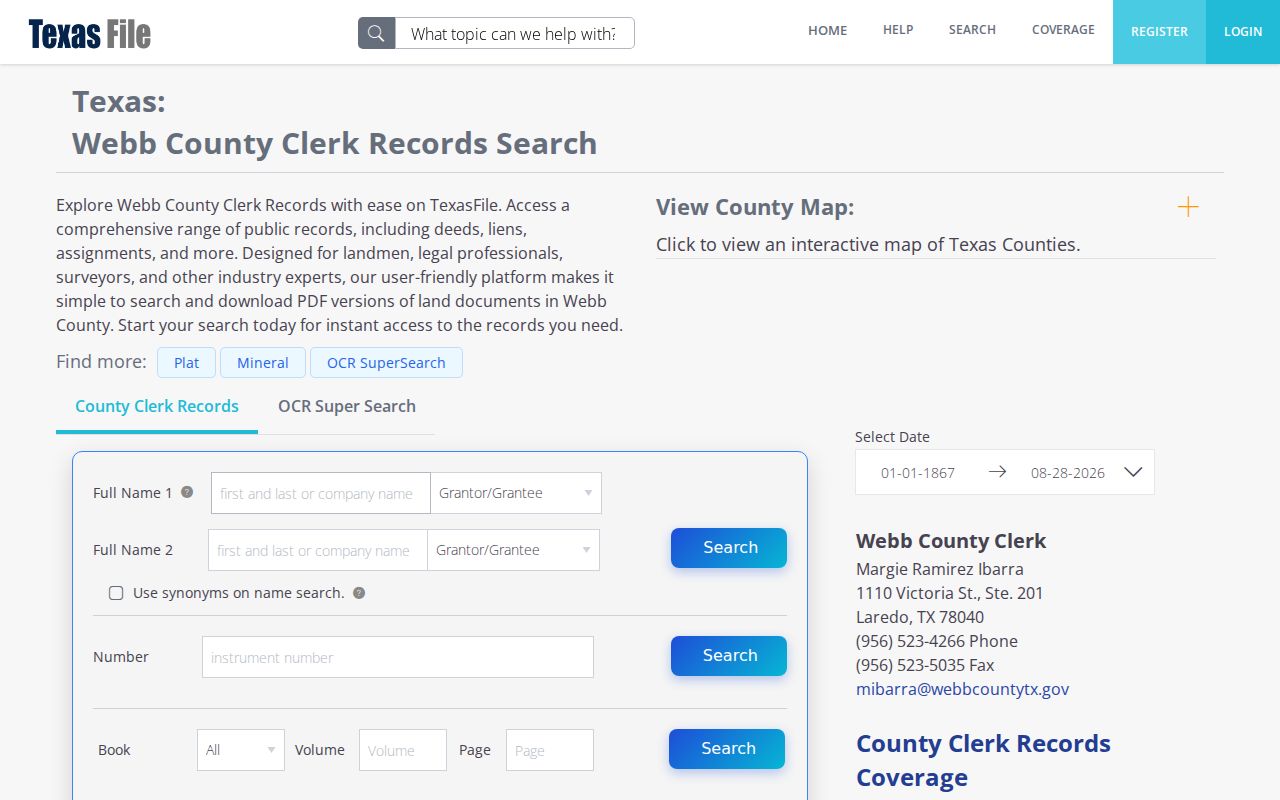
The TexasFile Webb County Clerk Records index is the documented route for party, instrument, and legal-description searches.
Webb County Neighbors and Tax Records
The Tax Assessor-Collector search has owner-name, property-address, and account or billing-number routes. Its advanced address form separates street or PO number from street name, and county instructions suggest a mailing-address search if a situs search does not locate the record. Tax results may show account number, owner label, situs and mailing addresses, tax year, payment fields, taxing entities, exemption indicators, and CAD references.
Use those fields to bridge the target property to a legal description, not to certify owner occupancy. Webb CAD is the appraisal source for property ID, GEIO ID, legal description, classification, values, exemptions, and map references. The accessible official material confirmed the eNotice identifiers and office details, but did not expose a complete live parcel-search interface. Verify any live CAD route before relying on its controls.
A homestead exemption can support an inference about owner occupancy, but it is still not conclusive. A missing exemption does not prove the opposite. The safest record note labels a tax or appraisal field exactly as displayed and records the date checked.
Webb County Block Geography
Webb County geography includes the Laredo area, Rio Bravo, El Cenizo, Bruni, Mirando, Oilton, and rural or unincorporated places. The county map collection is the starting point for precincts, city limits, roads, drainage, and other official geographic context. City layers add municipal zoning, annexation, and ETJ information. A neighborhood label may be informal or change across sources, so a layer name alone is not a person or property conclusion.
ZIP codes are also limited tools. USPS advises that ZIP boundaries do not necessarily follow city boundaries and that a ZIP result does not confirm a person or company at the address. Census ZCTAs are generalized statistical geography, not delivery routes. Keep ZIP, postal city, incorporated city, ETJ, and parcel description as separate pieces of the block record.
Webb County Community Records
No official comprehensive neighborhood-association, HOA, congregation, civic-council, or block-watch directory with current member listings was located. That absence matters. It is better to use public history and civic resources for a named block than to infer a membership roster from a map, tax record, or private directory.
| Public resource | Block or civic value | How to approach it |
|---|---|---|
| Laredo Historic Preservation | Historic districts, landmarks, and public-notice context for certain applications | Check the designation and notice record; it is not a resident list. |
| City Secretary | Public council material, ordinances, resolutions, appointments, and city records | Request the specific meeting, notice, or planning-related record. |
| Laredo Public Library historical collection | Directories, maps, newspapers, photographs, oral interviews, and local clippings | Ask staff for a year, street section, map, or call number; collection use is reference-only. |
| Heritage-directory network | Leads to LPL, TAMIU Special Collections, WCHF, and local genealogy resources | Use archival finding aids, marker files, newspapers, or public collections. |
Laredo Historic Preservation reports a 200-foot public-notice mailing practice for certain applications. A public agenda or notice and a historic-district map can supply lawful geographic context. Verify the applicable notice and redaction rules with Planning instead of turning that material into a list of private neighbors.
Webb County Neighbor Sources Compared
Official records and commercial neighbor-search categories serve different purposes. The official path ties a field to a tax office, Clerk, map custodian, election authority, library, or city department. Commercial categories often combine address, marketing, and public-record data. They can be stale or incorrectly matched, and they should not be used to target private people.
| Source category | Strength | Limit for block research |
|---|---|---|
| Official tax, Clerk, and map records | Named custodian, defined fields, and a record date. | Each system is narrow and may not show current occupancy. |
| Library and archival sources | Dated context for streets, blocks, businesses, and history. | Historical snapshots require edition and identity checks. |
| Commercial people-search category | May offer a starting lead that needs independent checking. | Can mix stale, inaccurate, or mismatched data and does not override privacy limits. |
For Webb County neighbors, source and date matter more than a large result set. Use a recorded plat or deed for the property relationship, a public office for the relevant field, and an archival source only for the date it represents.
Webb County Neighbor Privacy Limits
Records do not make renters, household members, utility subscribers, delivery information, protected victims, confidential voters, or association member lists public. A nearby voter entry, tax mailing address, homestead flag, or deed-index hit does not prove that a person is a neighbor of a target address. Texas voter rules protect confidential categories and identification fields, and public-list requests must honor suppression and permitted-use rules.
The County Clerk’s current notice describes HB 4350, enacted in 2025, under which eligible protected individuals can request redaction of certain personally identifying information and residential addresses from public property records. Public-record access does not authorize doxxing, impersonation, targeted contact, stalking, harassment, or unsafe aggregation. Describe results with record-specific verbs such as indexed, filed, listed, or mailed.
Lawful use. Keep Webb County neighbors research to lawful personal, family-history, property, or civic questions. Stop before a record trail becomes a way to watch, harass, intimidate, or harm a person.
Webb County Block History and Dates
Historic sources put a block in time. The TSLAC guide identifies Webb deed records from 1848, tax rolls from 1851, and Laredo directory entries in selected years including 1920–21, 1923–24, 1930, 1935, 1964, 1968, 1970, 1972–73, 1976, 1981, and 1985. Sanborn coverage listed for Laredo includes 1885 through 1925 at selected intervals. These are source windows, not continuous proof of a household.
The Texas Historical Commission reports that Laredo’s streetcar began in 1889, reached the international bridge four months later, operated four lines over 6.21 miles with nine cars, and ended in 1935. Pair that local history with a Sanborn sheet, directory address, and recorded map only to describe period block context, never to make a claim about an individual.
Online coverage and fees change. The Clerk index displayed coverage beginning in 1867, while older deed books are in the archival guide. County map pages, tax portals, and city services should be checked live before relying on a control, fee, or map layer. Note: A source date is part of the result, especially where an address, boundary, or record system has changed.